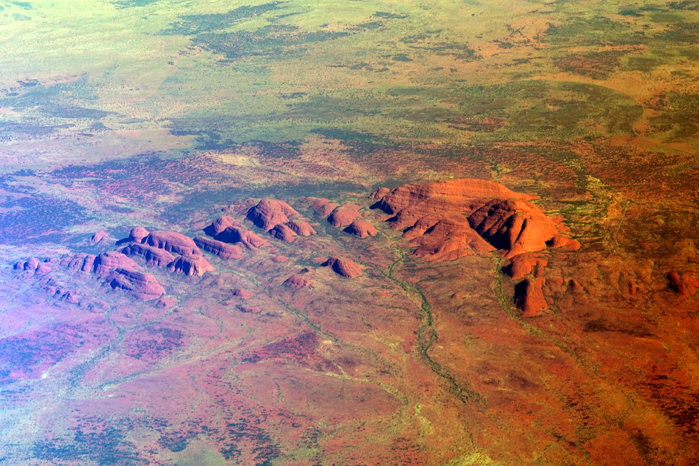
10th June 2012
After our walk around Kata Tjuta and lunch at the Yulara campsite near Uluru, we headed back east along the Lasseter Highway past Curtin Springs to turn left along Luritja Road towards King’s Canyon.

Map from http://www.kingscanyonresort.com.au/Getting-Here.aspx
Before turning onto Luritja Road, we made a stop for a better look at Mt Conner (“Fooleroo”), to the south of the road, a little past Curtin Springs (not shown on this map).

Mt Conner, also known as Attila and Artilla, is quite stunning in its own right – I was surprised I had never heard of it.
An aerial view of Mt Conner can be seen at:
https://maps.google.com/maps?hl=en&ie=UTF8&z=14&ll=-25.496897,131.899881&spn=0.050744,0.066175&t=k&om=1
The side of Mt Conner you can see from the road is quite smooth, the far side, apparently, is quite indented.
The Severin family took over the pastoral lease of Curtin Springs, which includes Mt Conner, in 1956. The family still lives on and runs the station today. 1956 was the first year of a nine year drought, so to help make ends meet, Peter Severin decided to sell petrol to travellers to Uluru. In the first year, they had six customers.
As well as being a successful cattle station, Curtin Springs is now a flourishing roadhouse, offering tourist accommodation and other facilities, including tours of Mt Conner.

After we had been admiring (and photographing) Mt Conner for some time, Jason suggested that we should take a walk up the small rise on the other side of the road.
I collected a sample of the red sand on the way. It is currently sitting in the kitchen in a small container. I had better move it soon before it is confused with paprika or chilli powder.

Walking up the rise.

What a surprise!
There on the other side of the rise was a salt lake!

Mt Conner from the top of the rise, with red foreground.

Mt Conner from the top of the rise, with less red foreground.

The desert blooms.
There has been some rain recently, so the desert is greener than it normally is.

The road back to Uluru and Kata Tjuta, from the top of the rise.

Mt Conner, looking pinker from the top of the rise.

Mt Conner disappears into the distance as we head off for King’s Canyon.

Gathering wood for the evening campfire.
Is Megan conducting a choir?
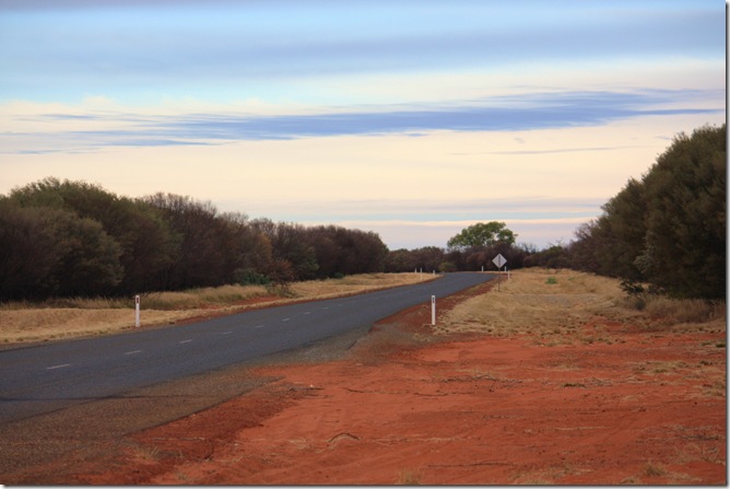
Wood gathered, back onto the bus, and heading for King’s Canyon.
We’re all quite tired and hungry now after another colourful, energetic, jam-packed, exhilarating day.
After our walk around Kata Tjuta and lunch at the Yulara campsite near Uluru, we headed back east along the Lasseter Highway past Curtin Springs to turn left along Luritja Road towards King’s Canyon.

Map from http://www.kingscanyonresort.com.au/Getting-Here.aspx
Before turning onto Luritja Road, we made a stop for a better look at Mt Conner (“Fooleroo”), to the south of the road, a little past Curtin Springs (not shown on this map).

Mt Conner, also known as Attila and Artilla, is quite stunning in its own right – I was surprised I had never heard of it.
Attila/Mt Conner
|
Uluru/Ayer’s Rock
| |
| Position | About 100 km east of Uluru | 335 km SW of Alice Springs, (450 km by road) |
| Height above sea level: | 859 metres | 863 metres |
| Height above plain: | 300 metres | 348 metres |
| Shape from above: | Roughly oval on NE/SW axis, smooth on NW side, jagged on SE side | Triangular, apex pointing east |
| Size: | 5 km long and 2 km wide | 9.4 km in circumference |
| Age: | Approx 800 – 900 million years | Approx 600 million years |
| English name given by: | William Gosse in 1873 | William Gosse in 1873 |
| English name given for: | SA politician M.L.Conner | Chief Secretary of SA, Sir Henry Ayers |
| Owned by: | On Curtin Springs Cattle Station, owned by Severin family. | Local Pitjantjatjara people, leased to National Parks & Wildlife Agency for 99 years and jointly managed. |
An aerial view of Mt Conner can be seen at:
https://maps.google.com/maps?hl=en&ie=UTF8&z=14&ll=-25.496897,131.899881&spn=0.050744,0.066175&t=k&om=1
The side of Mt Conner you can see from the road is quite smooth, the far side, apparently, is quite indented.
The Severin family took over the pastoral lease of Curtin Springs, which includes Mt Conner, in 1956. The family still lives on and runs the station today. 1956 was the first year of a nine year drought, so to help make ends meet, Peter Severin decided to sell petrol to travellers to Uluru. In the first year, they had six customers.
As well as being a successful cattle station, Curtin Springs is now a flourishing roadhouse, offering tourist accommodation and other facilities, including tours of Mt Conner.

After we had been admiring (and photographing) Mt Conner for some time, Jason suggested that we should take a walk up the small rise on the other side of the road.
I collected a sample of the red sand on the way. It is currently sitting in the kitchen in a small container. I had better move it soon before it is confused with paprika or chilli powder.

Walking up the rise.

What a surprise!
There on the other side of the rise was a salt lake!

Mt Conner from the top of the rise, with red foreground.

Mt Conner from the top of the rise, with less red foreground.

The desert blooms.
There has been some rain recently, so the desert is greener than it normally is.

The road back to Uluru and Kata Tjuta, from the top of the rise.

Mt Conner, looking pinker from the top of the rise.

Mt Conner disappears into the distance as we head off for King’s Canyon.

Gathering wood for the evening campfire.
Is Megan conducting a choir?

Wood gathered, back onto the bus, and heading for King’s Canyon.
We’re all quite tired and hungry now after another colourful, energetic, jam-packed, exhilarating day.