Thursday, July 5, 2012

Day 4 #3: Standley Chasm

12th June 2012


IMG_1321

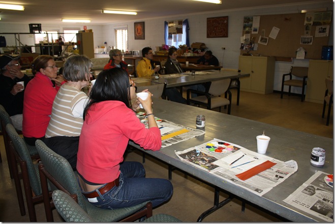
After our dot painting workshop, we returned to the Wallace Rockhole campsite where Megan had made us lunch, our last meal for the tour.  Then it was time to pack up.

A bit sad for us, but probably not for Megan.


Then we were back onto the bus, heading for Larapinta Drive, stopping off at Standley Chasm and Simpson’s Gap on our way back to Alice Springs

Map from http://www.wallacerockholetours.com.au/map.htm


IMG_1330 - Copy

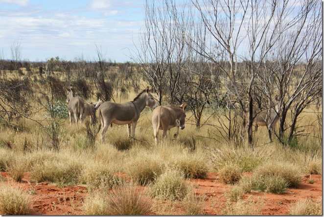
On the way back to Larapinta drive, we saw some wild donkeys.


IMG_1335

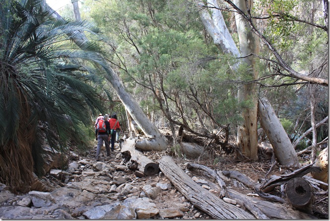
It was a very pleasant walk of about 20 minutes from the carpark to Standley Chasm, with more greenery than we’d seen over the past four days.


IMG_1362 - Copy

In due course, we arrived.

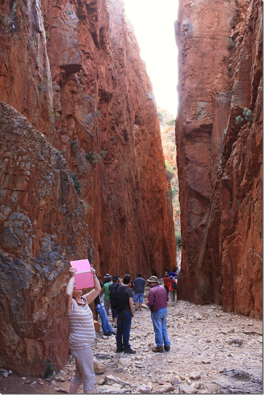
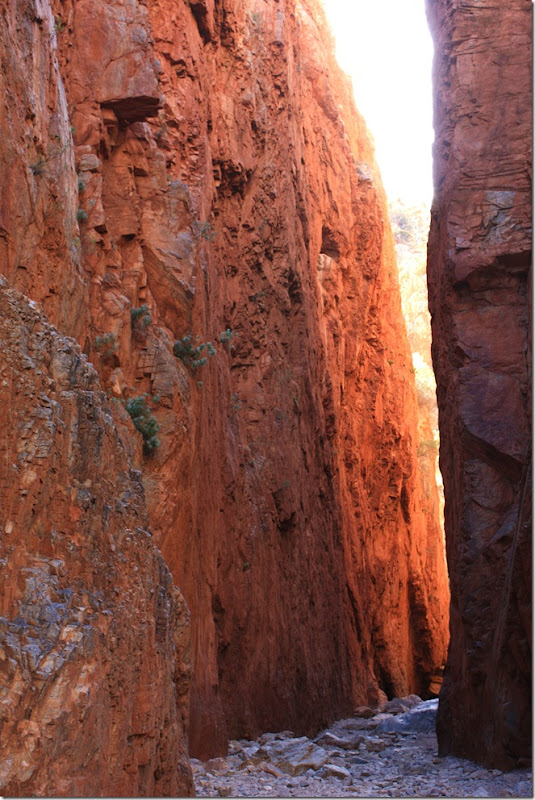
My initial reaction was that it was like a mini version of the Siq at Petra in Jordan.  On reflection, I decided that my reaction came from the fact that they are the only two chasms I’ve ever been in.  As far as chasms go, they are very different from each other.

Standley Chasm (Aboriginal name Angkerle) is a large gap at the tail end of the spectacular West MacDonnell Ranges, about 50 km west of Alice Springs.


IMG_1341 - Copy

Linda captures impressions of the chasm on her ipad, with video and sound.


IMG_1348 - Copy

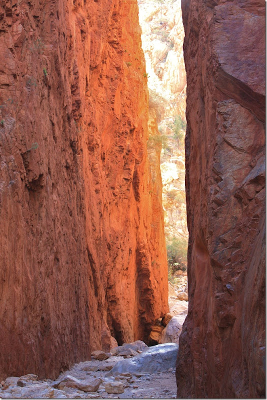
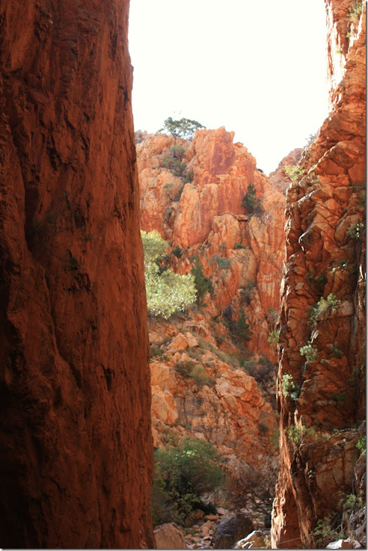
Through the gap.


IMG_1350 - Copy

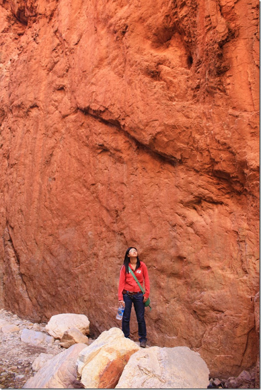
The walls of the chasm rise up about 80 metres on either side of the chasm floor.  Hoi checks this out.


IMG_1355 - Copy

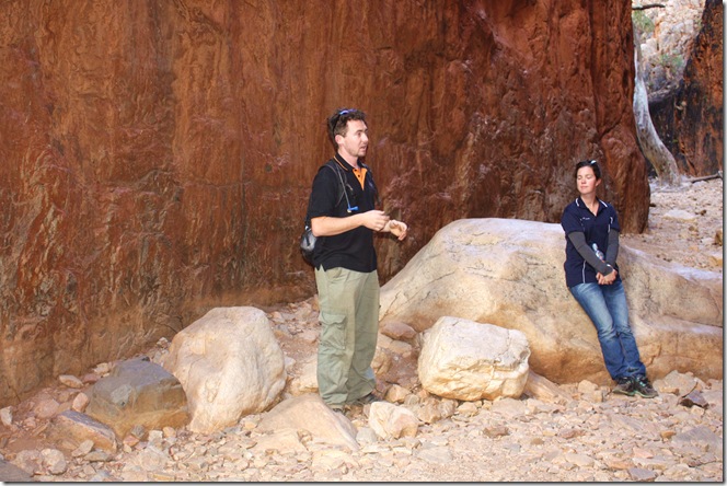
Jason explains how the chasm has been gouged into the sandstone over millions of years.  Megan listens with rapt attention.

The chasm was named after Ida Standley (1869-1948), who for fifteen years had been the only government teacher in Central Australia.  In 1928, when the part-Aboriginal children she was teaching, separated from their parents by the existing government policy, were moved from Alice Springs to a settlement near Standley Chasm, Ida delayed her retirement to go with them and spent the summer in a tent.  She was greatly beloved by the community, and Standley Chasm, and the Ida Standley Pre-School, Alice Springs, commemorate her. 


IMG_1374 - Copy

One last look before walking back.


IMG_1378 - Copy

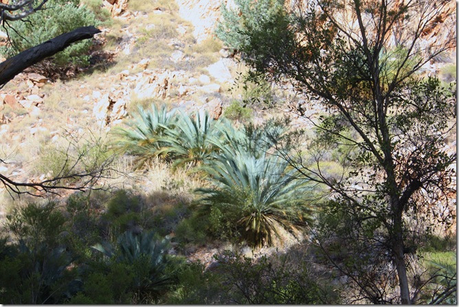
The area abounds with abundant bird life, rock wallabies  and many rare plants including cycad palms and ferns.


IMG_1382 - Copy

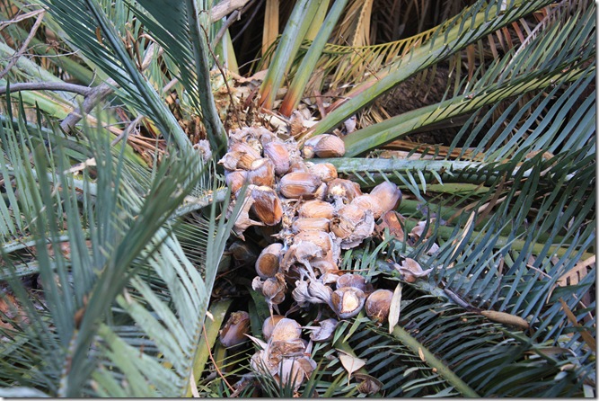
Seeds of the female cycad Macrozamia macdonnelliensis.


IMG_1384 - Copy

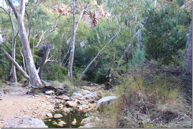
A bit more greenery – and even some water – and then we were back on the bus again.

Tuesday, July 3, 2012

Day 4 #2: Wallace Rockhole Dot Painting Workshop

12th June 2012


IMG_1308 - Copy

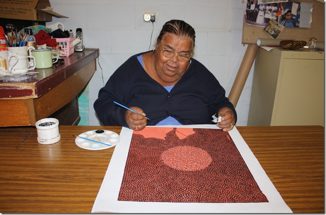
In the art workshop at Wallace Rockhole, Glenys was working on a painting.

We were shown a video which told a story of how one man, a teacher, worked very hard to encourage the indigenous people of Central Australia to make a profitable business from their art.   While some of his efforts were successful, it was, and still is, a very difficult process, with many obstacles along the way, including working through a culture of exploitation of the people.  Slowly, these artists are receiving encouragement and recognition.  


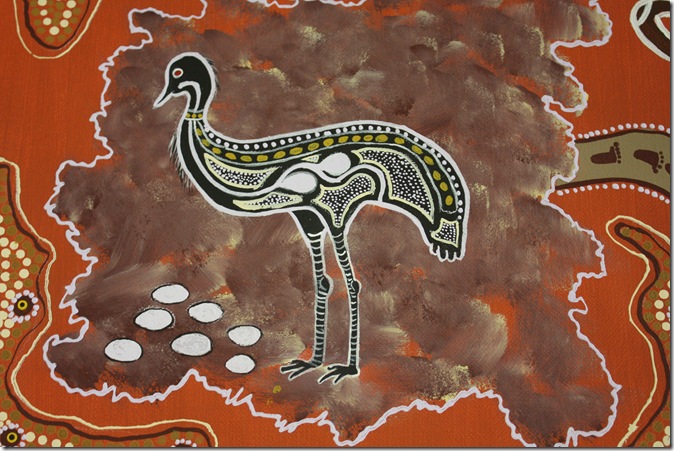
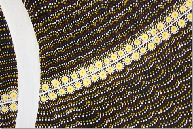
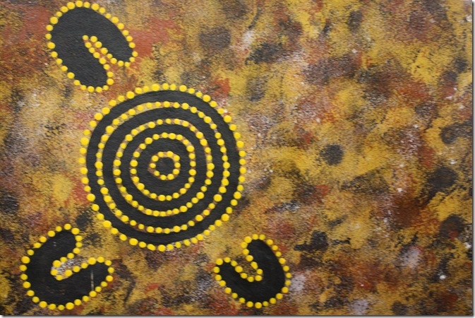
From paintings around the walls:

IMG_1311


IMG_1310


IMG_1312


Artlandish_Symbols_completed_-_footer

Image from http://www.aboriginalartshop.com/FAQ/faq.html

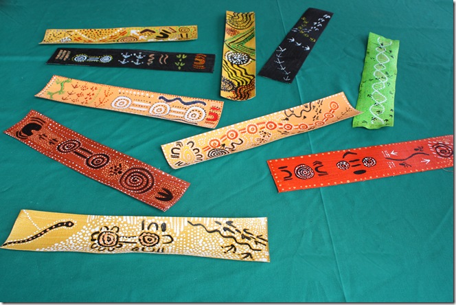
We were given a sheet similar to this, explaining various symbols and their meanings, and set to work, painting a bookmark.


IMG_1307 - Copy

Watching the video, at the workshop.  It was a fun activity.


IMG_1313 - Copy

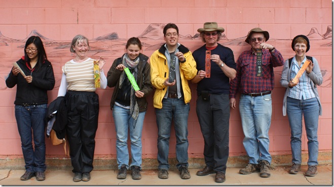
Some of us with our bookmarks.  Don’t they look great!


IMG_1316 - Copy

Our bookmarks.

Monday, July 2, 2012

Day 4 #1: Wallace Rockhole Cultural Tour

12th June 2012


IMG_1192 - Copy

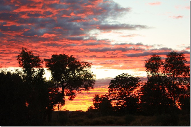
On Day 4, we enjoyed the luxury of being able to sleep late enough to see the sunrise from the camp instead of from the bus…..


IMG_1209

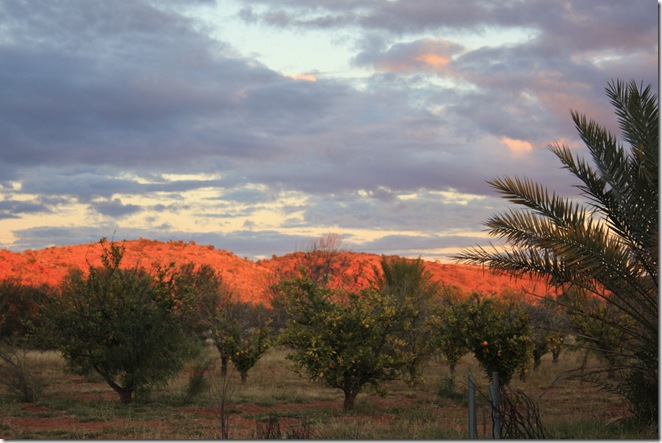
…..and to see the sun light up the hill.


IMG_1212 - Copy

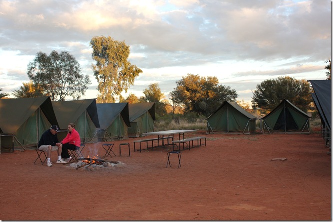
Pat and Peter even had time to warm up by the fire.  (My tent is the one at the end with the door open.)  Then we were onto the bus for our tour of the local Wallace Rockhole area.


IMG_1216 - Copy

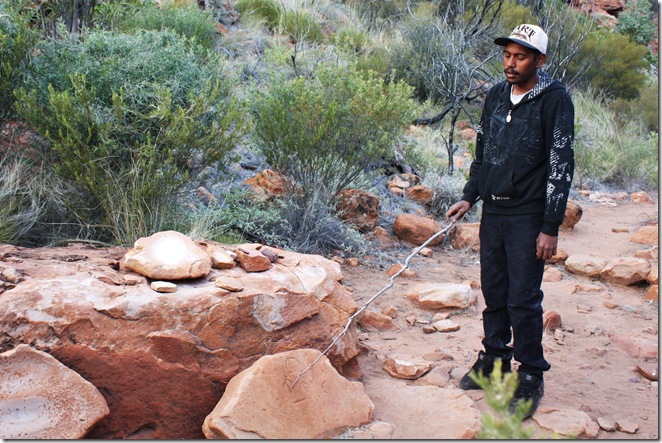
Our guide Braden pointed out some symbols used by the indigenous people who have lived in the area for up to 50,000 years, to communicate information about hunting, finding water etc.  He also explained how some of the local plants were used for food, medication and tool making.  There was also a plant used to poison waterholes to kill and hence capture emus.


IMG_1239 - Copy

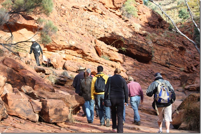
We followed Braden through a rocky valley.


IMG_1213

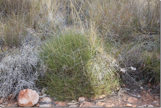
The Spinifex  bush (Trioda) provides a resin used by the Aboriginal people as a gum to make their hunting and working implements.  The spinifex is threshed until the resin particles fall free. These particles are heated until they fuse together to form a mouldable black tar which is worked while warm. When set, this gum is quite strong.


IMG_1302 - Copy

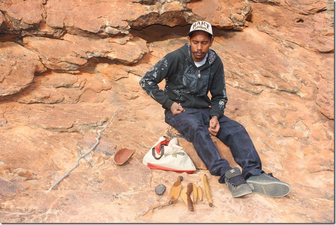
Braden showed us some tools, some of which were made using the spinifex gum.


IMG_1224 - Copy

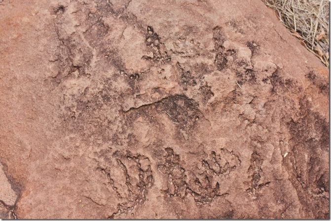
These are some old and weathered carvings of animal tracks.


IMG_1226 - Copy

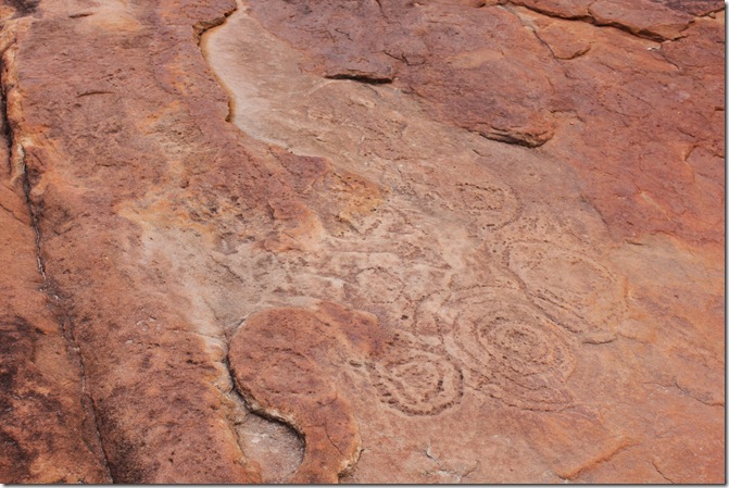
The circular patterns represent waterholes.  This was a section of a large area of several square metres, conveying information about the area.


IMG_1237 - Copy

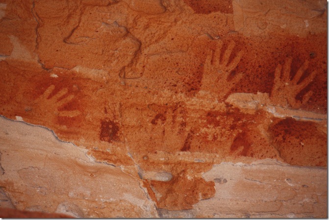
Hand paintings.


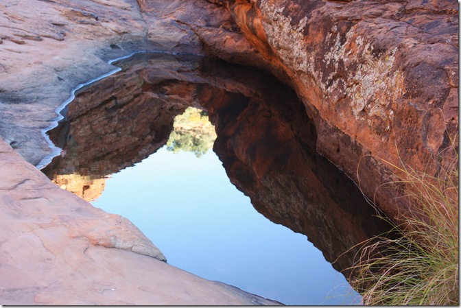
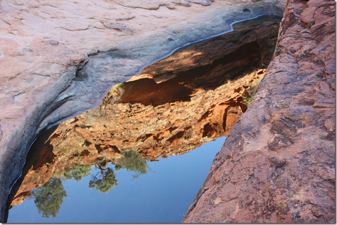
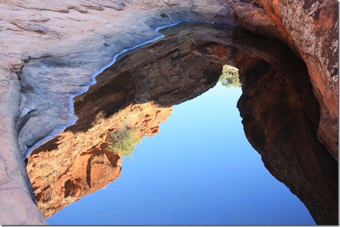
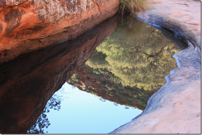
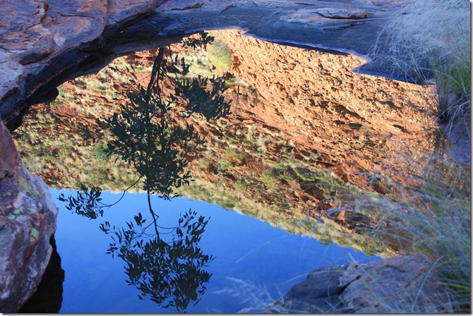
This was the actual Wallace Rockhole, a permanent water source for the area.  I was fascinated by the colours and reflections in this small rock waterhole:

IMG_1257 - Copy


IMG_1260 - Copy


IMG_1270 - Copy


IMG_1297 - Copy


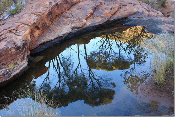
Further along the valley were some more small waterholes:

IMG_1281 - Copy


IMG_1285 - Copy

Day 3 #4: Wallace Rockhole

11th June 2012

Wallace Rockhole is 120 km west of Alice Springs.  Map from http://www.wallacerockholetours.com.au/map.htm

When the Hermannsburg Mission cattle station was handed back to the Aranda people in 1983, it was divided into five blocks of which Wallace Rockhole is one.  Wallace Rockhole is an Aboriginal community of approximately 100 residents, who are striving to develop a tourist industry.  This includes tours of the local Aboriginal art sites and the cattle station, education on bush food and medicine, and Aboriginal art workshops.


IMG_1171

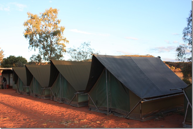
We arrived at the Wallace Rockhole campsite as the sun was going down.  These tents were more like conventional tents than the ones we’d used before – right on the ground, and with zips instead of hinged doors, so the friendly sound of zip-zip, zip-zip could be heard all around the campsite.  But  the tents still had electricity – what a luxury!


IMG_1185 - Copy

The setting sun shone brilliantly on the nearby hill behind our campsite.


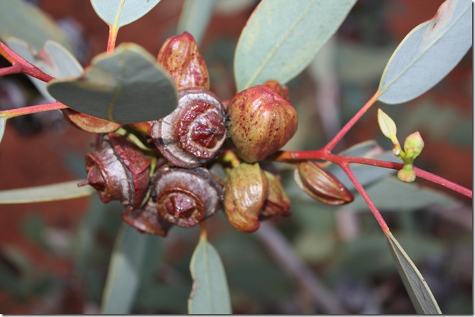
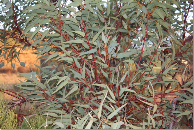
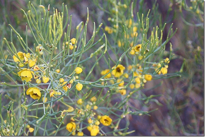
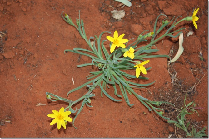
The campsite was surrounded by some striking native trees and shrubs:

IMG_1167


IMG_1173 - Copy


IMG_1174 - Copy


IMG_1179 - Copy


IMG_1184

Day 3 #3: Hermannsburg

11th June 2012.

Poor Jason!  After driving our bus about 200 km along the bumpy, unsealed Mereenie Loop Road, watching out for large potholes and straying wild animals such as camels, brumbies, donkeys and kangaroos, when we finally arrived at Hermannsburg, the centre was unexpectedly closed for a few days.
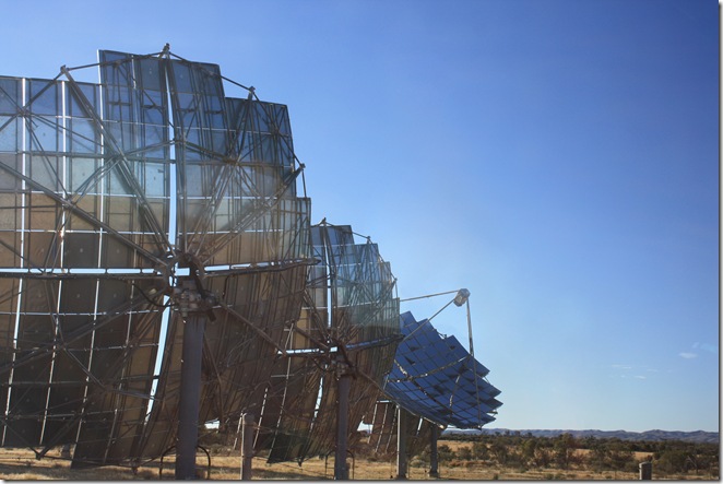
 

IMG_1161 - Copy_edited-1

Ever resourceful, Jason took us to see the Hermannsburg Solar Power Station, opened in 2006.

The solar power station supplies about half of the community’s electricity requirements, the remainder being supplied by diesel-powered generators.

These mirrored dishes concentrate sunlight by 500 times onto PV modules housed within a receiver. The tracking mechanism allows electricity to be produced whenever the sun is more than 5° above the horizon.

The third dish from the left appears to be tracking a different sun.

Australia has vast amounts of free sunlight which I think should be utilised more in providing our electricity.  Maybe the controversial Carbon Tax, introduced yesterday (1st July 2012) will directly or indirectly promote research into and implementation of this clean, green resource.


Lutheran Church

The church, now a museum, was built by Pastor Carl Strehlow, who arrived in 1894. Strehlow planted two gums in front of it and erected the church bell between them. One of the gums has since died and the bell, which still stands, is rather incongruously propped up by a post on the right hand side.

Picture from http://www.abc.net.au/radionational/programs/hindsight/lutheran-church/3187606 (We didn’t have an opportunity to take pictures.)

Hermannsburg is an Aboriginal community 131 km southwest of Alice Springs, known in the local Western Arrernte language as Ntaria.  It was established in 1877 by two Lutheran  missionaries from Germany who named their new mission after Hermannsburg in Germany where they had trained.

The mission had a chequered history, facing many problems such as drought, disease, lack of resources and local knowledge, and opposition from local settlers, local police and the Aboriginal people themselves.

There are arguments both for and against the efforts of missionaries in Australia, e.g.:

“It has often been said that missions and missionaries, of whatever religion, have done more harm than good among the Aboriginal population of Australia….. They obstructed their native culture and dreamtime practices, brought different tribes together and were against their nomadic practices. In the end they created a group of people who lost their roots and did not belong, nor were accepted, by either white or black societies.

On the other hand there is the opinion that without these missionaries the future of these Aborigines would have been even worse. They were already dispossessed, detribalised, raped and murdered by white settlers, farmers, pastoralists, police and governments, whose occupation of their lands made it impossible for the Aborigines to continue their way of living and adhere to their dreamtime culture.”

From http://www.southaustralianhistory.com.au/hermannsburg.htm 

The mission land was handed over to traditional ownership in 1982. Much of the historic township is now protected by the National Trust.


William-Dargie-Albert-Namatjira,-1956.jpg

William Dargie, Australia 1912 – 2003 | Portrait of Albert Namatjira 1956 |                                                  This painting won the Archibald Prize in 1956.  Image from http://qagoma.qld.gov.au/exhibitions/travelling/past/namatjira_to_now

Albert Namatjira, perhaps Australia's best known Aboriginal painter, was born at Hermannsburg in 1902.  He developed the ability to use his acute observation of the land to paint Western-style watercolours. Painting in this style came to be known as the Hermannsburg School of painting.

Namatjira’s distinctly unique landscapes became an enormous success.  Hundreds of thousands of Australian homes even today would contain a Namatjira print.  Queen Elizabeth II became one of his more notable fans, and he was awarded the Queen’s Coronation Medal in 1953.

As Namatjira's income grew, so did his extended family. At one time he was reputed to be singlehandedly providing for over 600 people.  His situation, although tragic, served to highlight the unequal treatment of Aboriginal people.  He died in Alice Springs in 1959, having completed over 2,000 paintings. 


Arreyonga Paddock, James Range - Albert Namatjira

Albert Namatjira, Australia 1902-1959:  Arreyonga Paddock, James Range.  Image from http://cultured.com/image/1569/Arreyonga_Paddock_James_Range/
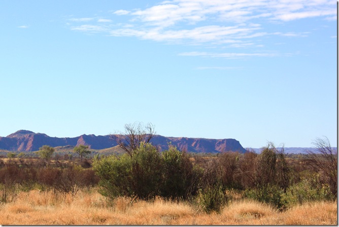
 

IMG_1158 - Copy

West McDonnell Ranges from Hermannsburg.
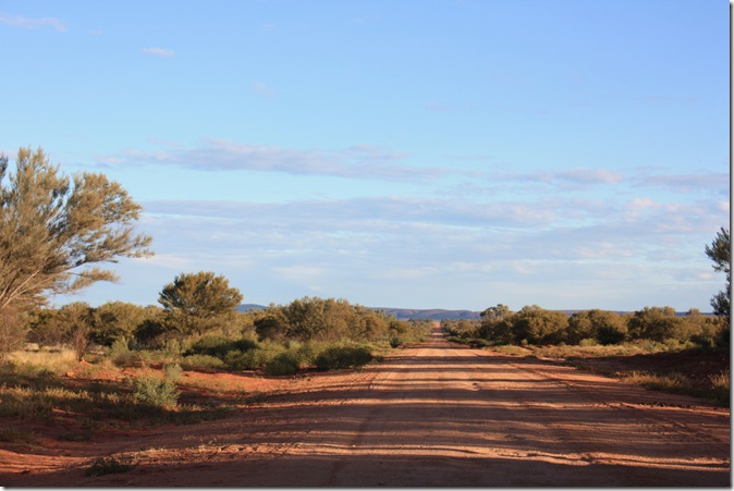
 

IMG_1162 - Copy

As the afternoon shadows lengthened, we left Hermannsburg behind (along another unsealed road).
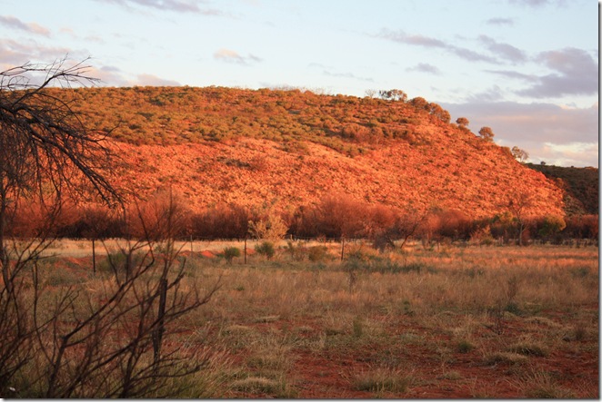
 

IMG_1163 - Copy - Copy [Desktop Resolution]

Wild brumby impressions.